Project Overview
Location: Ouro Preto, Minas Gerais, Brazil
Status: Complete
Focus Area: Geotechnical Risk Assessment and Urban Safety
Project Partners: Brazilian Geological Survey (CPRM), Federal University of Ouro Preto (UFOP), Sociedade Brasileira de Geofísica de Aplicação (SBGfA), Geoscientists without Borders® (GWB)
Overview
The UNESCO World Heritage city of Ouro Preto, located in the mountains of Minas Gerais, faces persistent challenges from landslides and unstable terrain due to its steep topography and intense seasonal rainfall. With a local population of approximately 48,000 residents and more than 500,000 annual visitors, understanding and mitigating geotechnical risk is essential to safeguard lives, preserve infrastructure, and protect the city’s historic architecture.This GWB-funded project aimed to establish and implement a replicable, non-invasive, and cost-effective methodology for identifying and classifying geotechnical risk zones in urban centers using geophysical techniques.
Approach
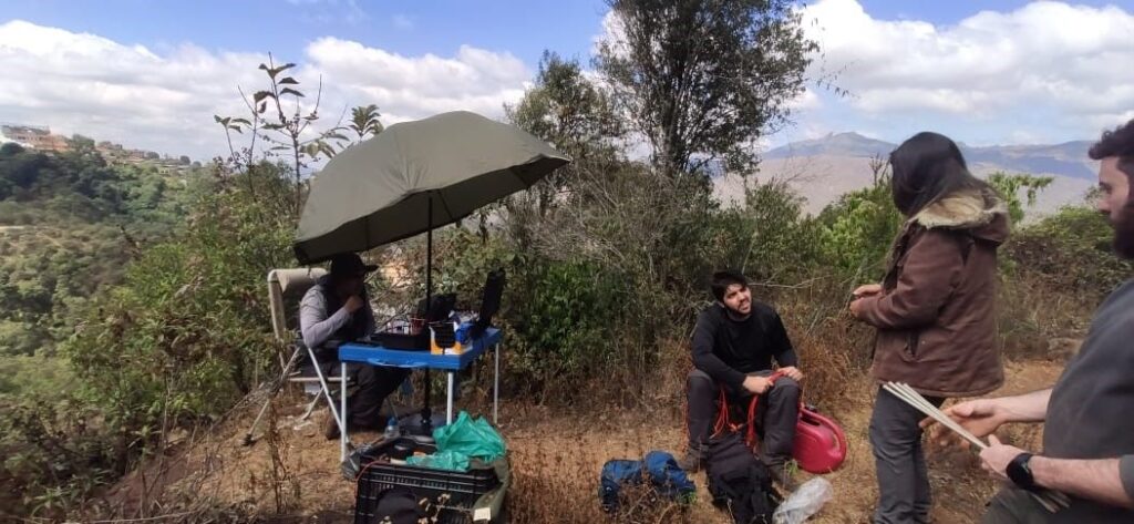
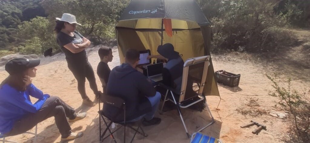
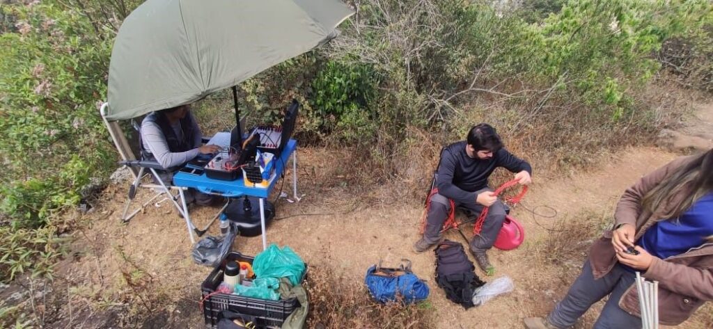
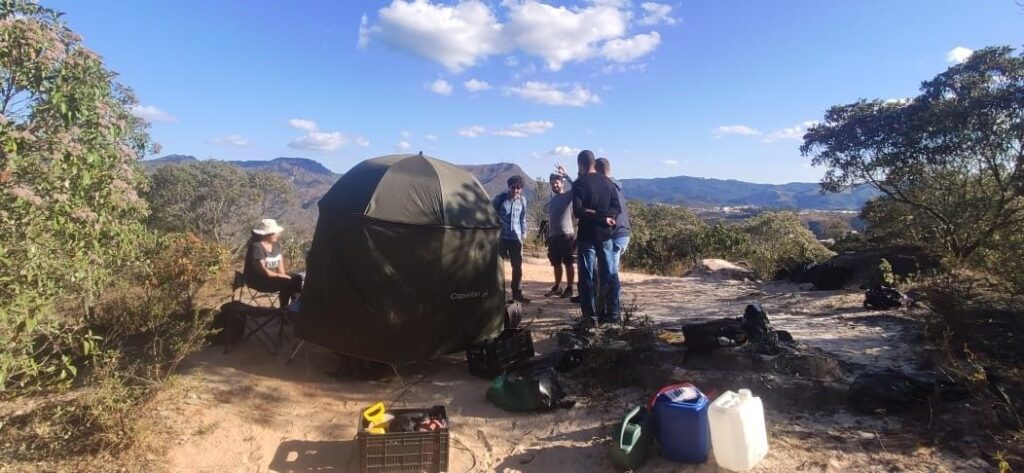
The project team combined a range of non-invasive geophysical tools and remote-sensing technologies, including:
- Drone-based mapping for topographic and aerial assessment
- Magnetometer and susceptibility meter measurements to detect subsurface variations
- Spectrometer surveys to analyze mineral composition and soil stability
- Electrical resistivity profiling to map subsurface moisture and weakness zones
These integrated methods allowed the team to develop a detailed geotechnical risk map of Ouro Preto—identifying vulnerable slopes, unstable areas, and potential subsurface anomalies that could lead to ground failure.
Impact
Delivered the first high-resolution geophysical risk assessment of Ouro Preto’s urban area.

Directly benefited 48,000 residents and 500,000 tourists annually through improved hazard awareness and early-warning capacity.
Provided local authorities and engineers with actionable data for urban planning and infrastructure protection.

Established a replicable geophysical methodology adaptable for other cities across Brazil and Latin America.

Supported training of local students and professionals in applied geophysical monitoring and data interpretation.
Next Steps
The success of this project has encouraged further development of the methodology in other Brazilian regions prone to landslides and geotechnical instability. The results also contribute to national efforts in urban risk mapping and sustainable land management, ensuring safer communities and preservation of cultural heritage.
Learn More


United Nations Sustainable Development Goals (SDGs)